Gower peninsula was Britain’s first designated Area of Outstanding Natural Beauty, now, since November 2023, one of the UK’s ‘National Landscapes’. Its coastal scenery is of World renown, but, perhaps surprisingly, the landforms and seascape have not been well understood. This website highlights my fresh look at Gower as a geologist, originally presented in a hard-bound, large-format book that is now sold out but available in libraries (see section The Book). I explain the coastal landforms, glacier deposits, caves and cliffs in terms of new understandings of our dynamic Earth and long-term climate change.
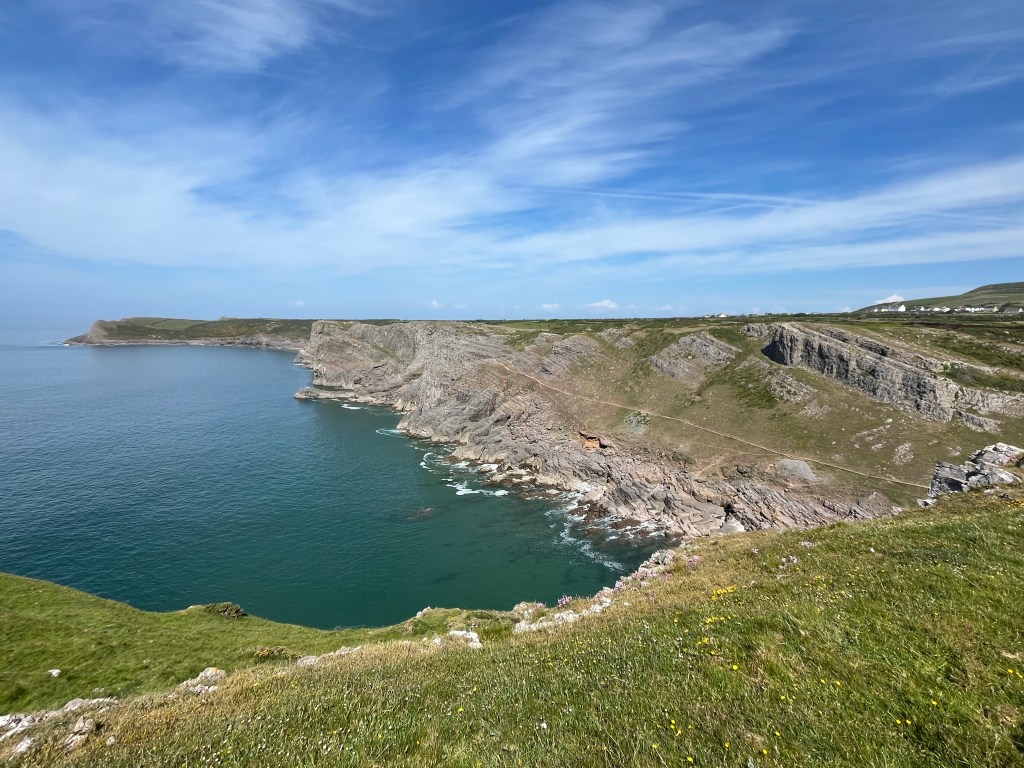
South Gower scenery is dominated by a gently sloping platform that was cut by the sea some three million years ago, just before the Ice Age…
Modern techniques of imaging and mapping of coastal Gower (e.g., high resolution LiDAR and sea-bed multi-beam sonar imagery) have allowed features to be seen that inevitably had escaped early pioneer geomorphologists. A new map of the Last Glacial Maximum extent of ice on Gower is made, with many glacial features identified inland for the first time. The hydrogeology of Gower peninsula, set in the South Wales Coalfield, also is described for the first time, with explanations of the behaviour of the numerous springs and their relations to the extensive limestone cave systems. New light is shone on the impacts of storms, both onshore and offshore, and remarkable records of deep-time processes are read from cliffs and rock slides.
I have recently begun to study an early glaciation of Gower that occurred some 450,000 years ago, involving an ice sheet that penetrated eastwards far up what is now the Bristol Channel. Inexorably, I have been drawn to comment on the controversy concerning whether it was ice or humans that transported the ‘bluestone’ megaliths from Pembrokeshire to Stonehenge (see sections Towards Stonehenge… and Stonehenge).
Writing of the book ‘All Our Own Water’ (published in October 2021) grew out of a natural desire to understand Gower’s original public supply of water, much of which flowed through caves I explored as a youth. Friendship and explorations with Peter Sambrook, a true Gower man, exceptional gardener and engineer at Wellhead water treatment station for some 34 years, motivated several studies to explain the springs and landscape of the peninsula we enjoy so much. Ian Murphy of Dŵr Cymru (Welsh Water) generously provided access to the unique records of water supply via Wellhead that persisted from 1954 until 1994. Informal involvement of several friendly colleagues from the British Geological Survey and academic staff at the Universities of Cambridge, Liverpool, Manchester and Swansea contributed immensely with advice and with high quality analyses.
Andy and Antonia Freem, expert cavers and photographers, generously provided a large number of images as well as collecting some of the samples analysed. As friends our joint digging efforts to recover access into Llethrid Swallet cave were considerable, with the ultimate success coming just as ‘All Our Own Water’ went to press. Former Alpine and Gower climbing partner Geoff Williams, now a retired career hydrogeologist, guided explanations of the limestone (karst) hydrology. Bill Fitches, who taught me structural geology as an undergraduate student, meticulously reviewed and improved the book, while Sam (Andy) Heath compensated for my massive lack of computer know-how. Oh how we laughed!
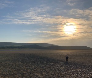
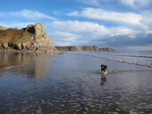
Gower Peninsula is fabulously rich in its natural history and unspoilt landscapes. Its 400 million-year geological history and Ice Age developments are superbly displayed to be read in the field. It is a beautiful place that changes scenery year-around with the seasons, along with changes due to the huge tidal range and the commonly dramatic weather; its hidden places underground are similarly striking. This website and the book attempt to share some of it all, but there remains much more….
Important: Unless otherwise credited, the photographs and diagrams in this entire website are my own and should not be reproduced without my permission and proper credit. See the section ‘Feedback’.
